One of Stephen's most popular design work was for our annual Halloween costume party 'Disturbia'.
I had the opportunity to visit Ireland earlier this month and visit my good friend Stephen who I've known since my college days down in Florida. The two of us along with a few of my other closest friends worked together to build a successful event planning and party promotion business called Thank Me Later LLC. We all wore many different hats during the day to day operation of the company but my main role with TML was curating our social media presence, everything from designing and running our Facebook page to creating our event pages and promoting our parties on and offline. Stephen on the other hand was our resident graphic designer, he was the creative force behind the designs for our business cards, merchandise, and perhaps most importantly our promotional material. Based on the nature of our roles within TML, Stephen and I developed a close relationship and worked together to craft and control the image of our company.
Through the years we've broken bread together, thrown countless parties, and have drank more alcohol than I'm willing to admit or accept. Although TML is ultimately what brought us together I have a good feeling we'd still be friends without it. Even after graduation and leaving Florida we've remained in touch, just last year Stephen and I had the opportunity to link up with our friend Pierre in Milan and travel through Italy together. Stephen is originally from the Cayman Islands but pursued a job opportunity in Dublin last year, after settling down he extended an invitation to all of us to come check him out so it was a no brainer for me when it came down to deciding where I wanted to take a vacation this year. After ironing out the dates with Stephen I booked my flight towards the end of October and flew out on a direct flight from JFK to Dublin on Halloween.
Quick portrait I took of Stephen on our day trip to the Cliffs of Moher (Nikon D3330, 50mm, f/4.5, 1/640 sec, ISO 400)
Honestly, I didn't take as many pictures as I would have liked as a result of only having my 50mm lens on me (procrastination shall forever be my downfall) which made it fairly difficult to capture Dublin's narrow streets but I was able to get some great landscape shots especially on Ireland's beautiful coastline. While the majority of my shots were taken with my Nikon D3300 there are a few images that I took with my iPhone 6s scattered in as well and are denoted with an (i) in the caption. I've included metadata for each image for all of the photography buffs out there, almost all of the images I took during my trip were shot in Aperture priority mode; partly (mainly) because I'm lazy and didn't want to have to worry about constantly adjusting settings between shots but also to have better control of my depth of field especially when shooting Ireland's beautiful landscapes. If you'd like to enlarge an image click (or tap) on it for a better view. I've included a few maps here and there to allow you to get a sense of where I was when I took the picture and some links to give you some background information if you'd like to learn more. Enjoy!
Dublin
You can find round trip flights to Dublin from NYC for around $400. Direct flights are only about 6.5 hours. (Google Maps)
Dublin is on the east coast of Ireland and only a short hop away from the UK. (Google Maps)
JFK -> DUB (i)
The Temple Bar (Nikon D3300, 50mm, f/4, 1/60 sec, ISO 800 image processed with VSCO E1 preset)
Ha’penny Bridge (Nikon D3300, 50mm, f/6.3, 1/1600 sec, ISO 400 image processed with VSCO E2 preset)
Proper Irish Fry Up aka the best hangover cure (bacon, eggs, brown bread, black pudding, sausage, and beans) (i)
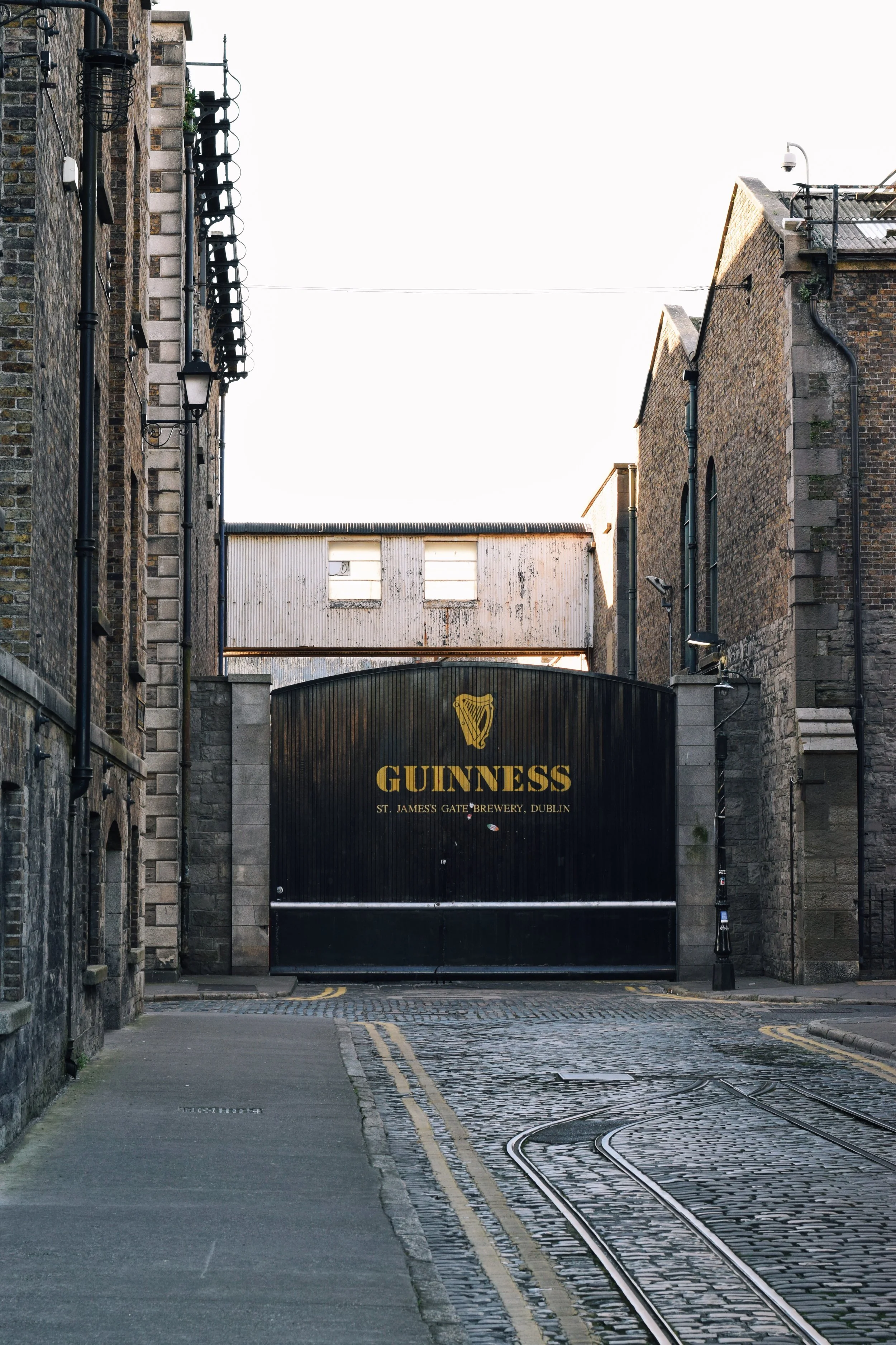
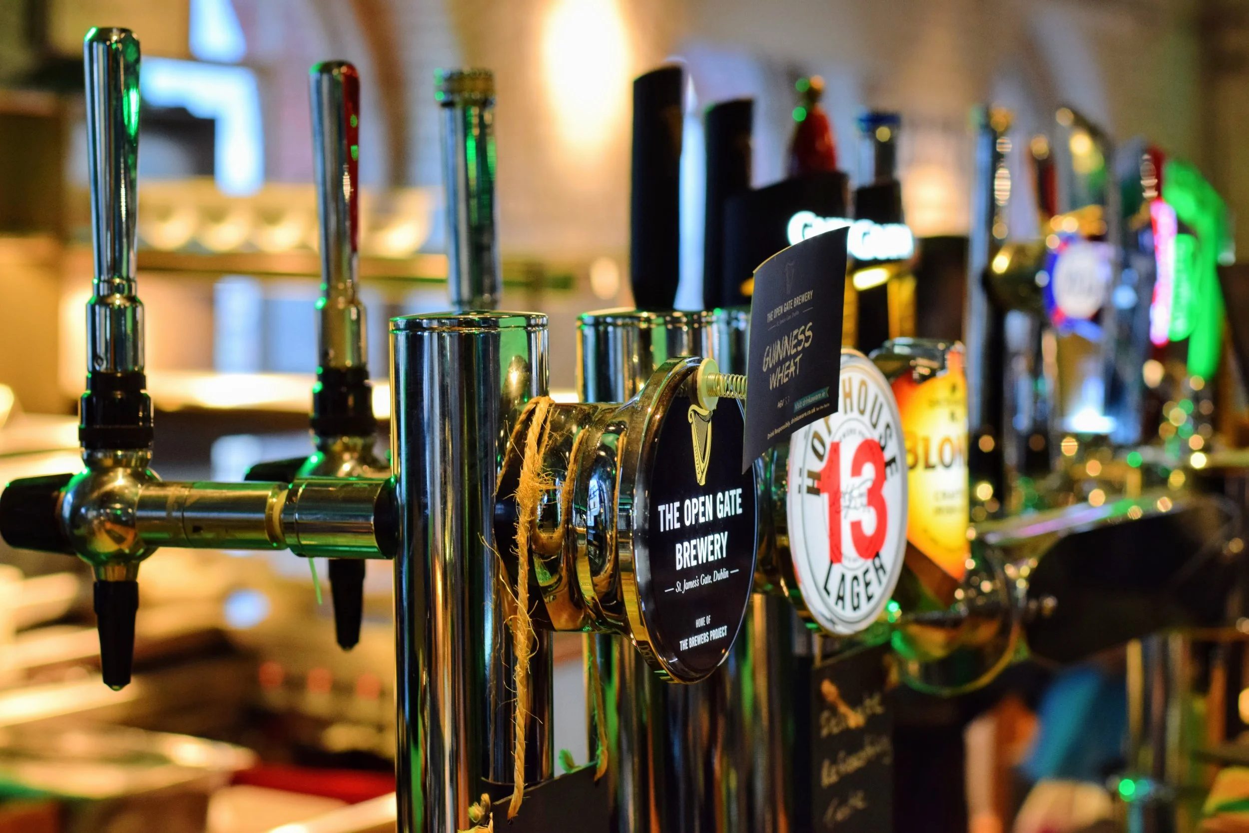
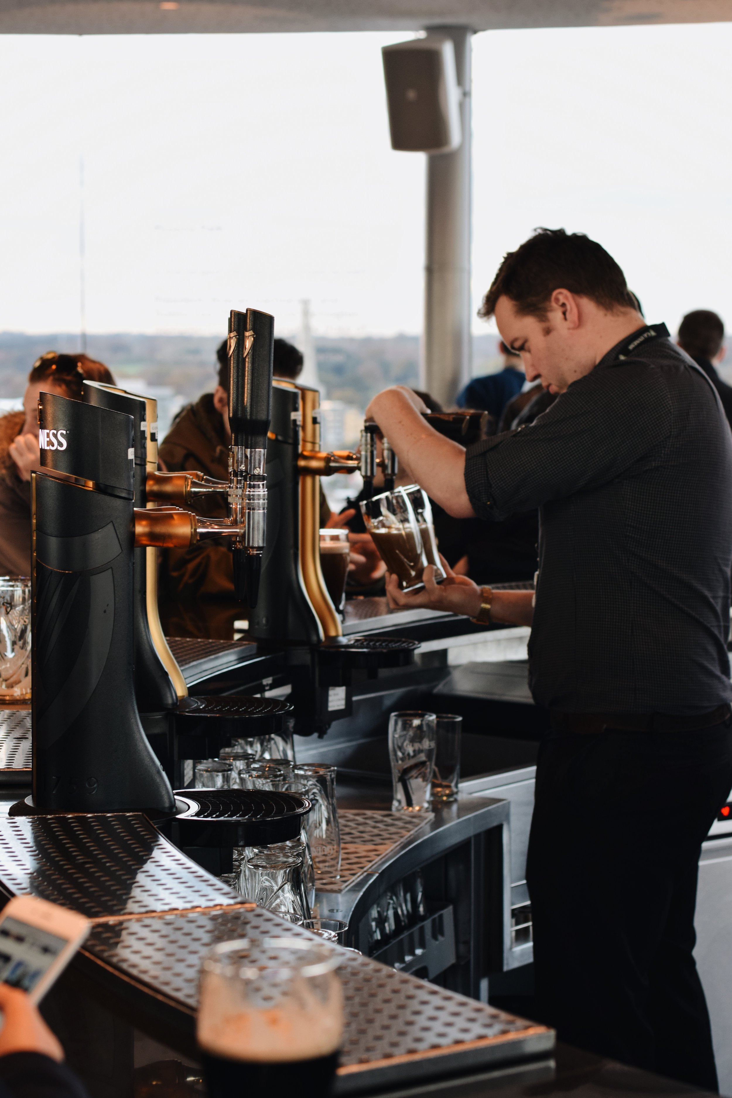
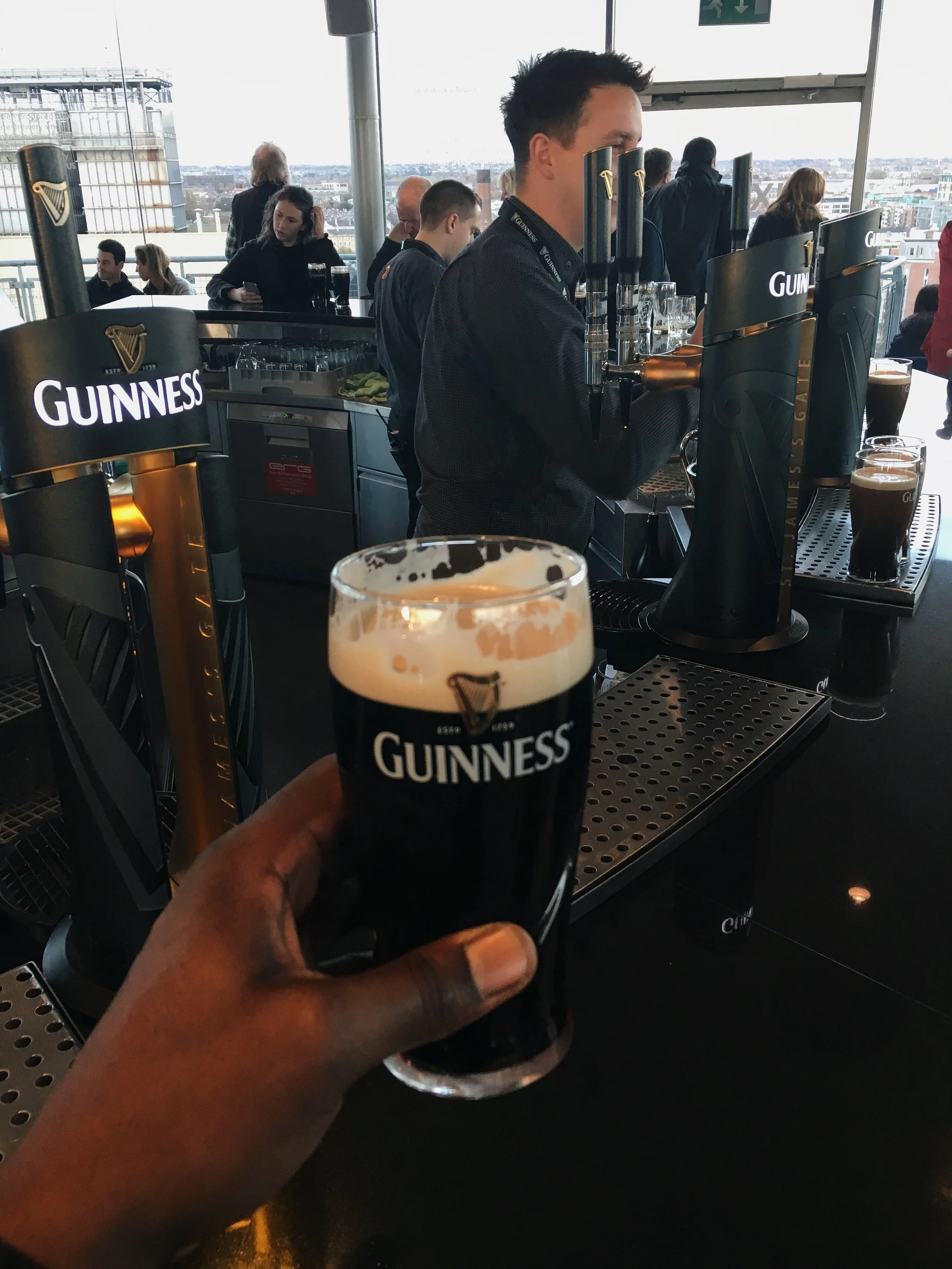
The Guinness Storehouse
Anyone who knows me well knows how much I love Guinness, so one of my favorite parts of visiting Dublin was the opportunity to visit its birthplace at St. James's Gate Brewery. The brewery was founded in 1759 in Dublin by Arthur Guinness. The city leased the property to him at a rate of IR£45 (Irish pounds) per year for 9,000 years (#truestory) and has been the home of the famous stout ever since.
Dublin Sunset as seen from the seventh floor of The Guinness Storehouse Gravity Bar (Nikon D3330, 50mm, f/10, 1/200 sec, ISO 400 image processed with VSCO E2 preset)
“Dublin is now a truly cosmopolitan capital, with an influx of people, energy and ideas infusing the ever-beguiling, multi-layered city with fresh flavors and kaleidoscopic colors.”
Northern Ireland
My first trip out of Dublin was to visit Giant's Causeway in Northern Ireland. The island of Ireland is actually made up of two separate countries; Northern Ireland which is a part of the United Kingdom to the north and the Republic of Ireland to the south. Facebook's "it's complicated" relationship status was probably born out of the relationship between the two nations and like most self respecting international conflicts it is one rooted in religion. For a crash course on the what caused and led to the division of Ireland into two nations check out this video on YouTube:
Dublin -> Giant's Causeway (Google Maps)
The drive from Dublin to Giant's Causeway normally takes about 3 hours with no stops and light traffic, my bus tour with Finn McCools Tours however took about 5 hours as a result of a few stops along the way. There is an open border between the two nations but only Northern Ireland acknowledges the transition with a "Welcome to Northern Ireland" sign along the highway, driving south back into Ireland you will find no "Welcome to Ireland" sign as the Republic is of the mindset that you never left Ireland in the first place.
The first stop along the tour was Northern Ireland's capital and largest city Belfast. Belfast played a key role in the Industrial Revolution and was once the center of the Ireland's linen, tobacco processing, rope-making and shipbuilding industries. In the early 20th century, Harland and Wolff, the company which built the RMS Titanic, was based in Belfast and held the title of the world's biggest and most productive shipyard.
“I certainly notice the vitality in Belfast, which wasn’t there in the Seventies. There was a war going on then. Now there are cranes everywhere. There really is a sense of renewal and hope.”
Driving north along the A1 highway towards Belfast. (i)
Belfast -> Dark Hedges -> Dunluce Castle -> Giant's Causeway (Google Maps)
After leaving Belfast we continued our trip north to the village of Ballymoney to visit the picturesque Dark Hedges. "Planted in the 18th century by the Stuart family, the opposing rows of beech trees were meant to create an impressive, scenic road leading up to their estate, Gracehill House. However as the trees matured they began to bend over the road and their upper branches intermingled creating a shadowy arboreal tunnel. The bent trunks and gnarled branches give the road an aura of the supernatural, which has landed the Irish thoroughfare a number of background roles in both movies and television shows such as Game of Thrones. The Dark Hedges have even developed their own ghost story featuring a “Grey Lady” who floats along behind the rows, and disappears just as the lane ends." - Atlas Obscura
The Dark Hedges; a recent storm knocked down several of the elm trees along the road leading to the gap between the trees on either side of the road. (Nikon D3300, 50mm, f/5, 1/100 sec, ISO 400)
Photograph by Werner Van Steen© via Getty Images
The Dark Hedges as seen on Season 2 Episode 1 of The Game of Thrones. Arya Stark has escaped from King’s Landing, disguised as a boy. She is with Yoren, Gendry, Hot Pie and others who are to join the Night’s Watch, in a cart, travelling north on the King’s Road.
After joining Arya and the rest of the caravan on King's Road we also continued our journey north towards the village of Bushmills nestled on the northern coast of Ireland. The coast is home to one of the most iconic monuments in Northern Ireland, Dunluce Castle, which sits precariously on the craggy and treacherous Antrim Coast. Legend has it that on a stormy night in 1639 the castle kitchen along with its staff fell into the sea during a dinner party. #TurnUpWasReal
Dunluce Castle (Nikon D3300, 50mm, f/8, 1/250 sec, ISO 200)
Dunluce Castle & the Antrim Coast (Nikon D3300, 50mm, f/16, 1/160 sec, ISO 400)
Dunluce Castle Selfie (i)
Antrim Coast (Nikon D3300, 50mm, f/3.2, 1/4000 sec, ISO 400)
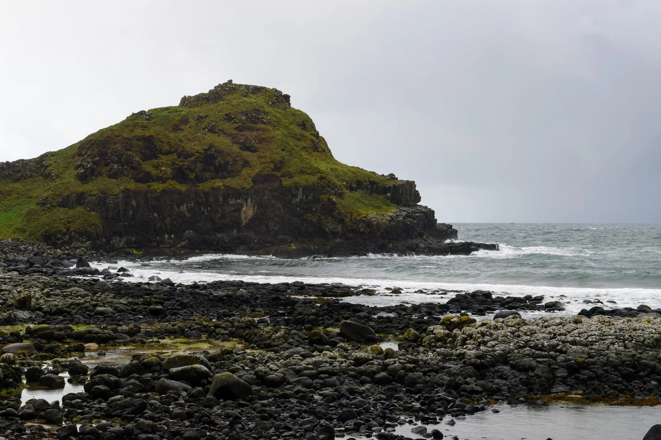
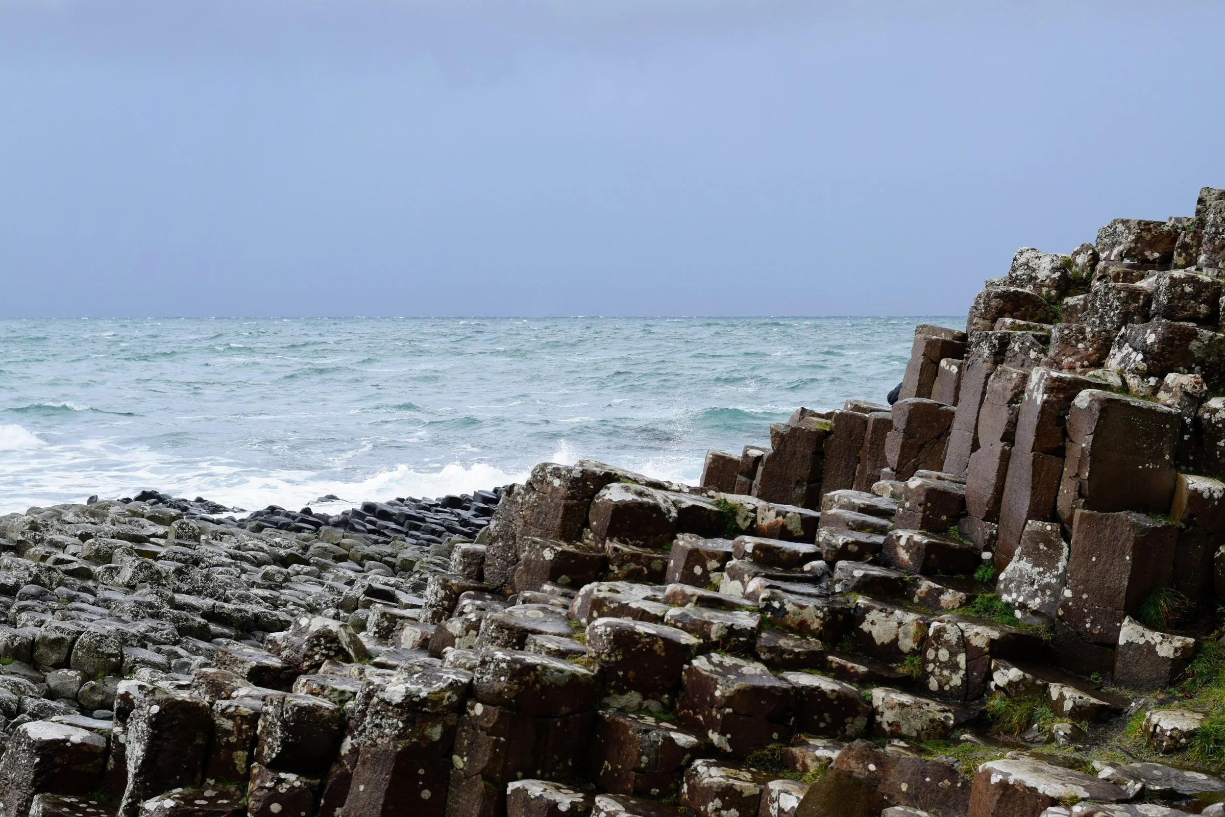
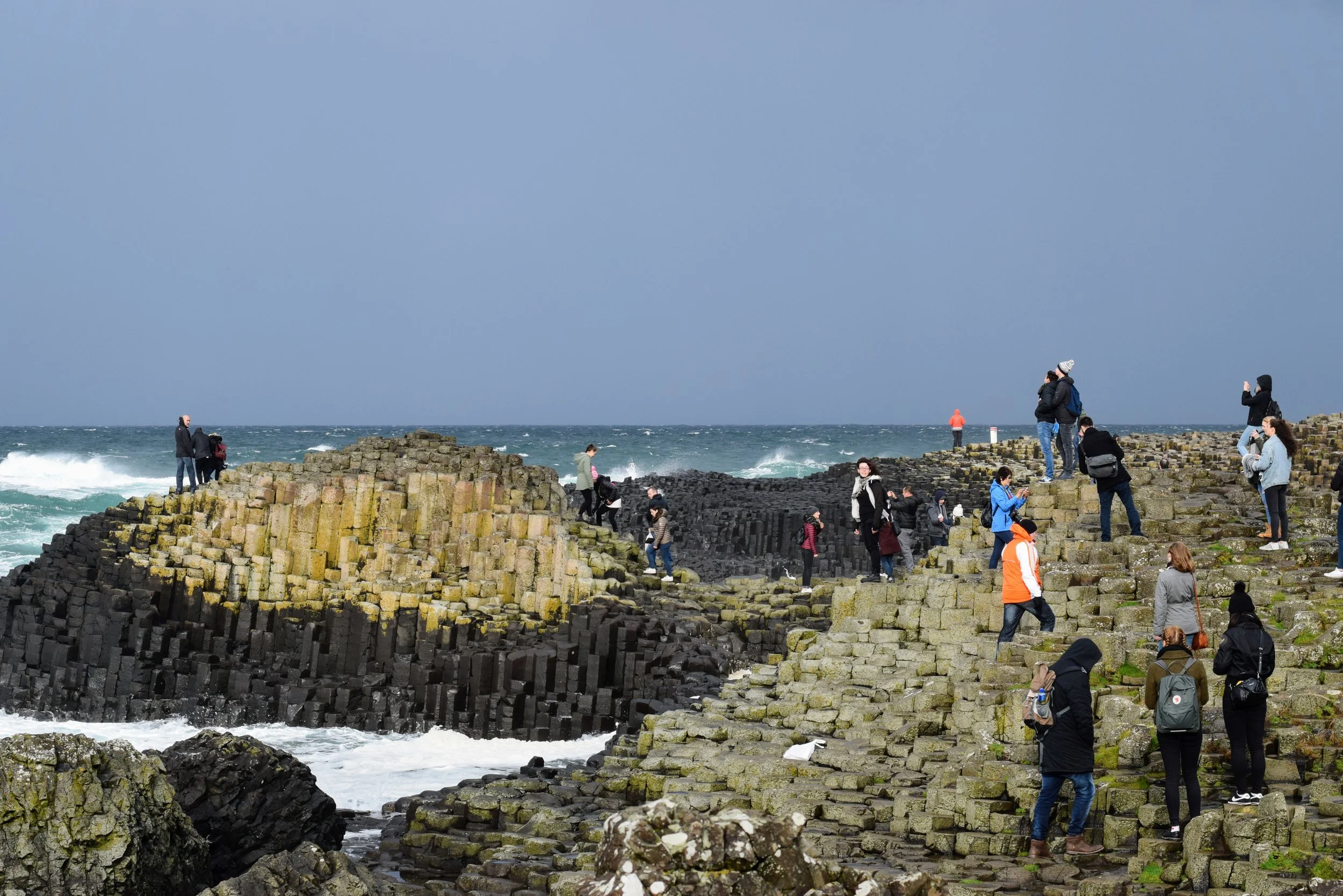
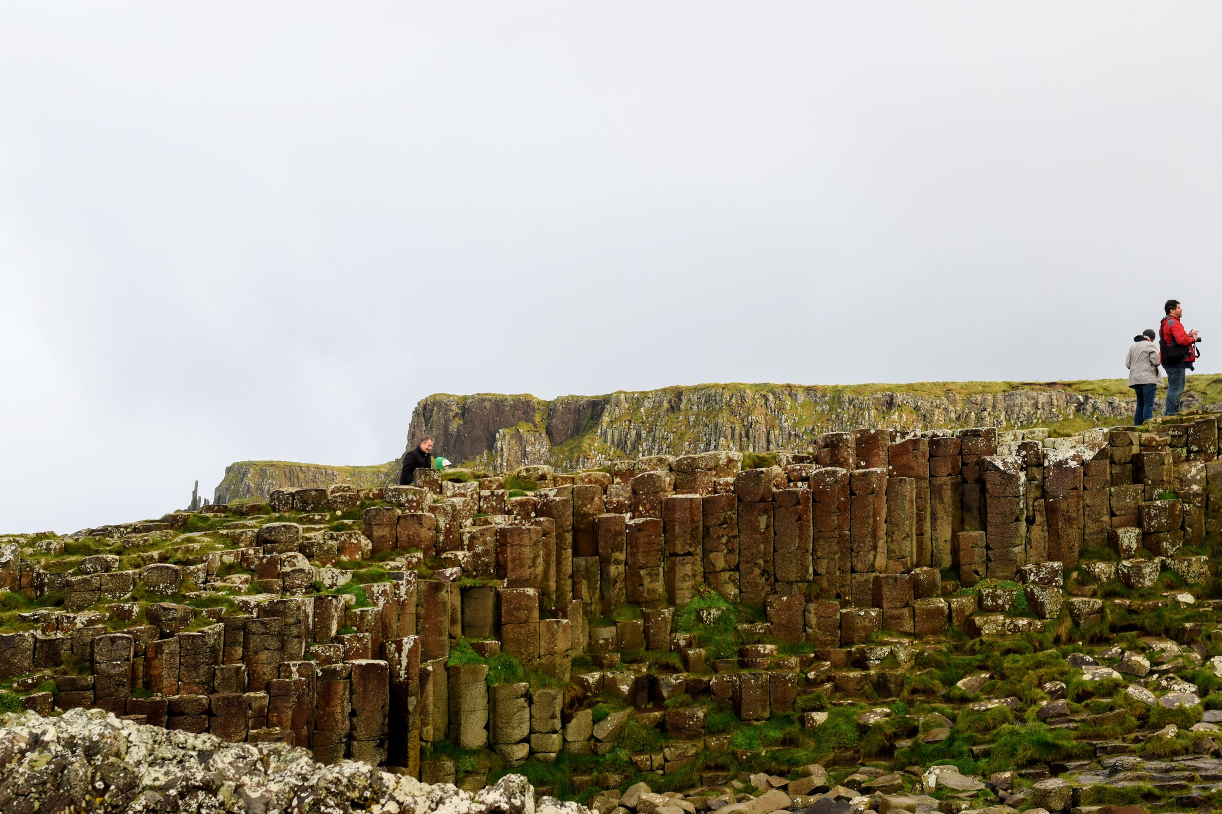
The Antrim Coast wraps around Northern Ireland's coastline with the Inner Seas, traveling northwest from Dunluce Castle you eventually reach one of Ireland's greatest natural wonders, Giant's Causeway. The causeway is an area of about 40,000 interlocking basalt columns that are a result of a volcanic eruption millions of years ago, however the Irish have adopted their own origin story rooted in Gaelic mythology. Learn more about this story and about the causeway itself in this short National Geographic feature:
Finn McCool dukes it out with the Scottish giant Benandonner.
Basalt Columns at Giant's Causeway (Nikon D3300, 50mm, f/2, 1/1250 sec, ISO 400 processed with VSCO E1 preset)
Giant's Causeway panoramic (i) The people in the bottom right corner of the image moved as I was panning my phone which is why they look a bit distorted.
Sheep grazing near Giant's Causeway (Nikon D3330, 50mm, f/8, 1/250 sec, ISO 250)
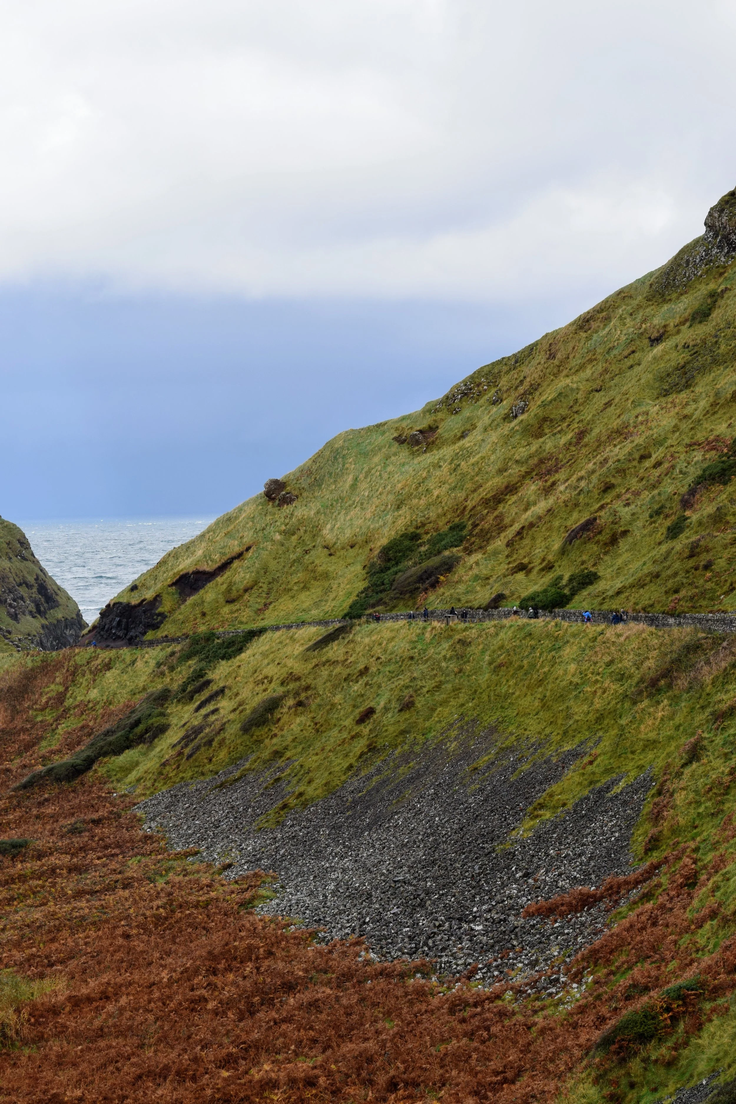
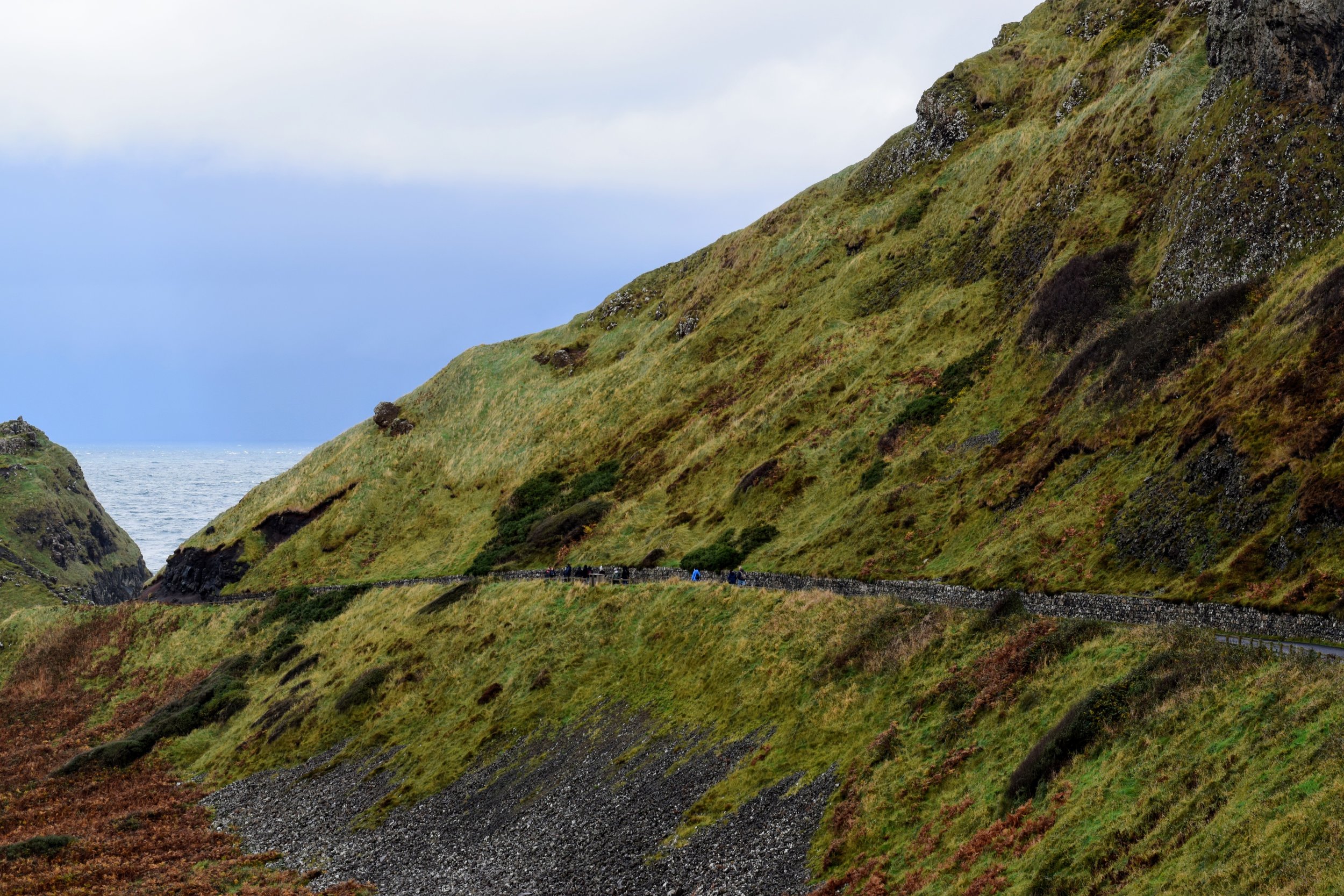
Path leading to Carrick-a-Rede in Ballintoy. (Nikon D3330, 50mm, f/8, 1/250 sec, ISO 280)
Giant's Causeway -> Carrick-a-Rede (Google Maps)
After Giant's Causeway we made our way to the village of Ballintoy to visit the Carrick-A-Rede Rope Bridge. While I had every intention of making it to the bridge and paying the £6 to cross it I spent most of my time in the visitor center trying my best to warm up after being drenched by rain and hail at the causeway. After a bowl of soup and some tea I ventured out in time to catch the clouds breaking, offering some breathtaking views of the coastline. The photography gods rewarded my near bout with hypothermia with a rainbow, which led to my favorite shot from that day:
Rainbow over Rathlin Island, the northernmost point of Ireland. (Nikon D3330, 50mm, f/16, 1/60 sec, ISO 200)
This fun fact is brought to you by Stewie.
On the topic of rainbows, I'm sure you’ve heard the expression “the luck of the Irish” and probably thought it meant people from Ireland had extreme good fortune but the phrase originally has a different connotation. According to Edward T. O’Donnell, an Associate Professor of History at Holy Cross College the term is not Irish in origin. "During the gold and silver rush years in the second half of the 19th century, a number of the most famous and successful miners were of Irish and Irish American birth. Over time this association of the Irish with mining fortunes led to the expression 'luck of the Irish.' Of course, it carried with it a certain tone of derision, as if to say, only by sheer luck, as opposed to brains, could these fools succeed."
A part of me still thinks the color green was born in Ireland (Nikon D3330, 50mm, f/8, 1/250 sec, ISO 360)
Most of Northern Ireland's coastline is defined by rocky cliffs (Nikon D3330, 50mm, f/8, 1/250 sec, ISO 220)
Carrick-a-Rede panoramic (i)
Our Northern Ireland bus tour ended with a quick stop in Cushendun, this small village is the closest point between Ireland and Scotland. The village is also home to the Cushendun Caves, which have formed as the result of 400 million years of extreme weather conditions and erosion in the area. With almost two thousand miles of coastline the island of Ireland and its scenic landscapes have been featured in several movies and popular TV shows. Storm's End Cave where Davos Seaworth and Lady Melisandre landed ashore in Season 2 of Game of Thrones is not far from where this picture was taken:
Cushendun (Nikon D3330, 50mm, f/6.3, 1/160 sec, ISO 400)
Cushendun is only about 15 miles from the coast of Scotland (Google Maps)
Cushendun Caves (Nikon D3330, 50mm, f/8, 1/250 sec, ISO 400 processed with VSCO S2 preset)
Cliffs of Moher
My second excursion out of Dublin took me westward to an area of Ireland known as The Burren (Irish: Boireann, meaning "great rock"), located on the island's western coast with the Atlantic Ocean. The Burren is known for its karst landscape of bedrock incorporating a vast cracked pavement of glacial era limestone, with cliffs and caves, fossils, rock formations and archaeological sites. On the Atlantic coast, the precipitous Cliffs of Moher are home to thousands of seabirds and are second to only the Guinness Storehouse as Ireland's most visited tourist sites.
Dublin -> Cliffs of Moher (Google Maps)
After two or three nights of heavy drinking, at times almost against my will (these are the friends I have chosen for myself after all) I almost thought about not going out to see the cliffs but Stephen's girlfriend Lynn offered a much needed voice of reason, so Stephen and I decided to book a rental car on Friday night. The three of us packed into the car the following morning and started our drive west from Dublin to the cliffs which took about 3 hours and took us across the heart of Ireland.
Stephen and his girlfriend Lynn (Nikon D3330, 50mm, f/5.6, 1/200 sec, ISO 200)
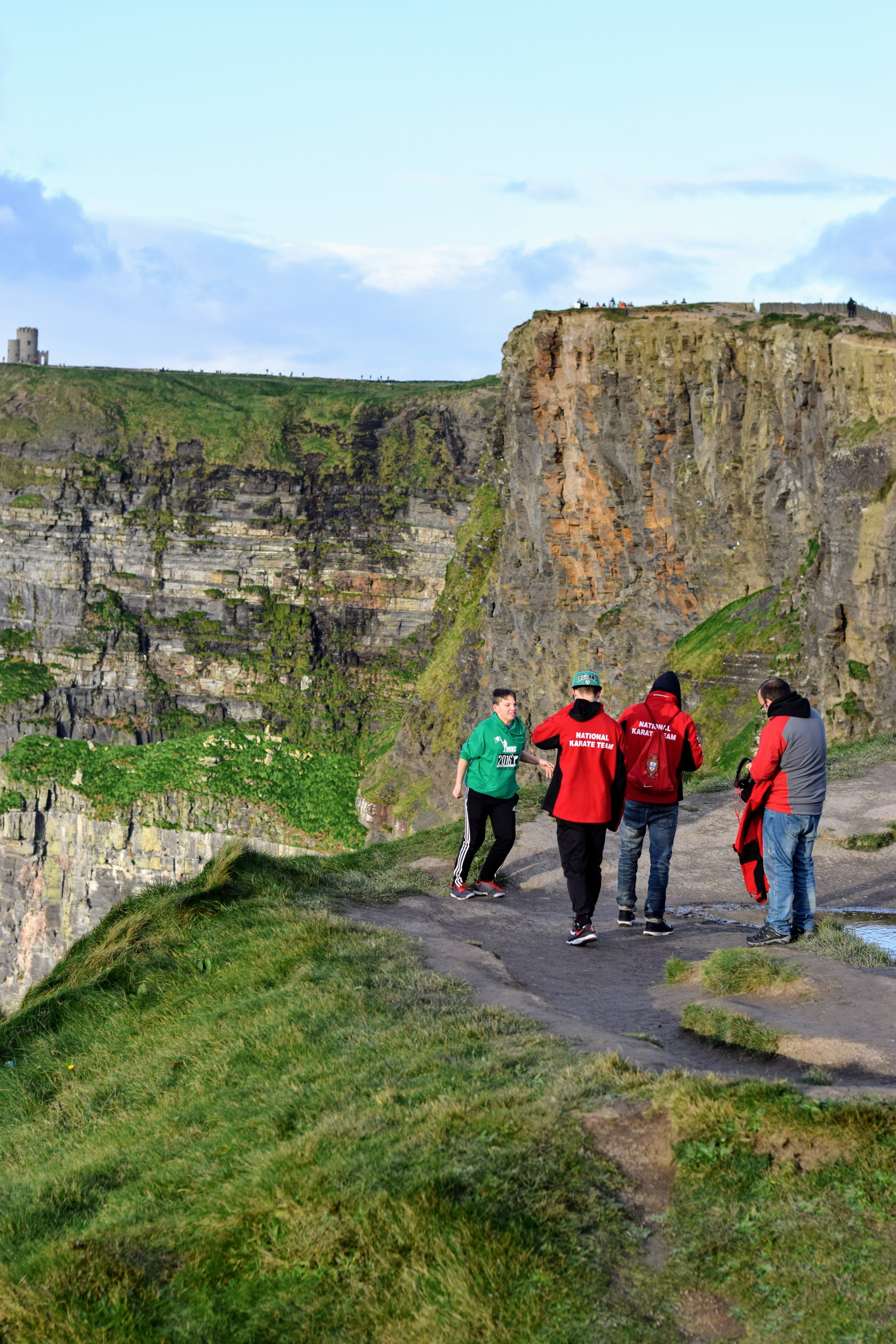
I don't think there was any way I could have been prepared for the sheer scale and beauty of the cliffs, it comes as no surprise that they were recently up for consideration as one of new 7 Wonders of the World. The cliffs take their name from an old fort called Mothar or Moher, which once stood on Hag's Head, the southernmost point of the cliffs. The cliffs rise 120 meters (390 ft) above the Atlantic Ocean at Hag's Head and reach their maximum height of 214 meters (702 ft) just north of O'Brien's Tower, eight kilometers (roughly 5 miles) to the north (see map below). Check out this short video for an aerial tour of the cliffs:
Bird's Eye view of the Cliffs of Moher (Google Maps)
Visitors of the cliffs proceed at their own caution as there is no fence or guardrail between you and an untimely death hundreds of feet below. You walk past several signs that read "Please do no not go beyond this point" and small placards with suicide prevention hotlines as you walk up the winding path that runs along the cliffs. Unfortunately the lure and height of the cliffs have made them a popular destination for the mentally distressed or depressed looking to end their lives. Sometimes terrible beauty leads to terrible tragedy.
Behind the Scenes animation of me shooting O'Brien's Tower. (i)
O'Brien's Tower marks the highest point of the Cliffs of Moher. The tower was built on the cliffs in 1835 by local landlord Sir Cornellius O'Brien as an observation tower for the Victorian tourists that frequented the cliffs at the time: "strangers visiting the Magnificent Scenery of this neighbourhood". Another version of story tells of O'Brien building the tower in order to impress women he was courting, perched on top of the tower views extend for miles in every direction ... chivalry is not dead. One of my images of O'Brien's Tower was featured on a popular Irish travel photography page on Instagram, with over 1,250 likes at the time of this post (#humblebrag ...Check it out here).
O'Brien's Tower (Nikon D3330, 50mm, f/10, 1/160 sec, ISO 200)
O'Brien's Tower (Nikon D3330, 50mm, f/11, 1/250 sec, ISO 200 processed with VSCO E1 preset)
Here are a few more of my favorite images of the Cliffs:
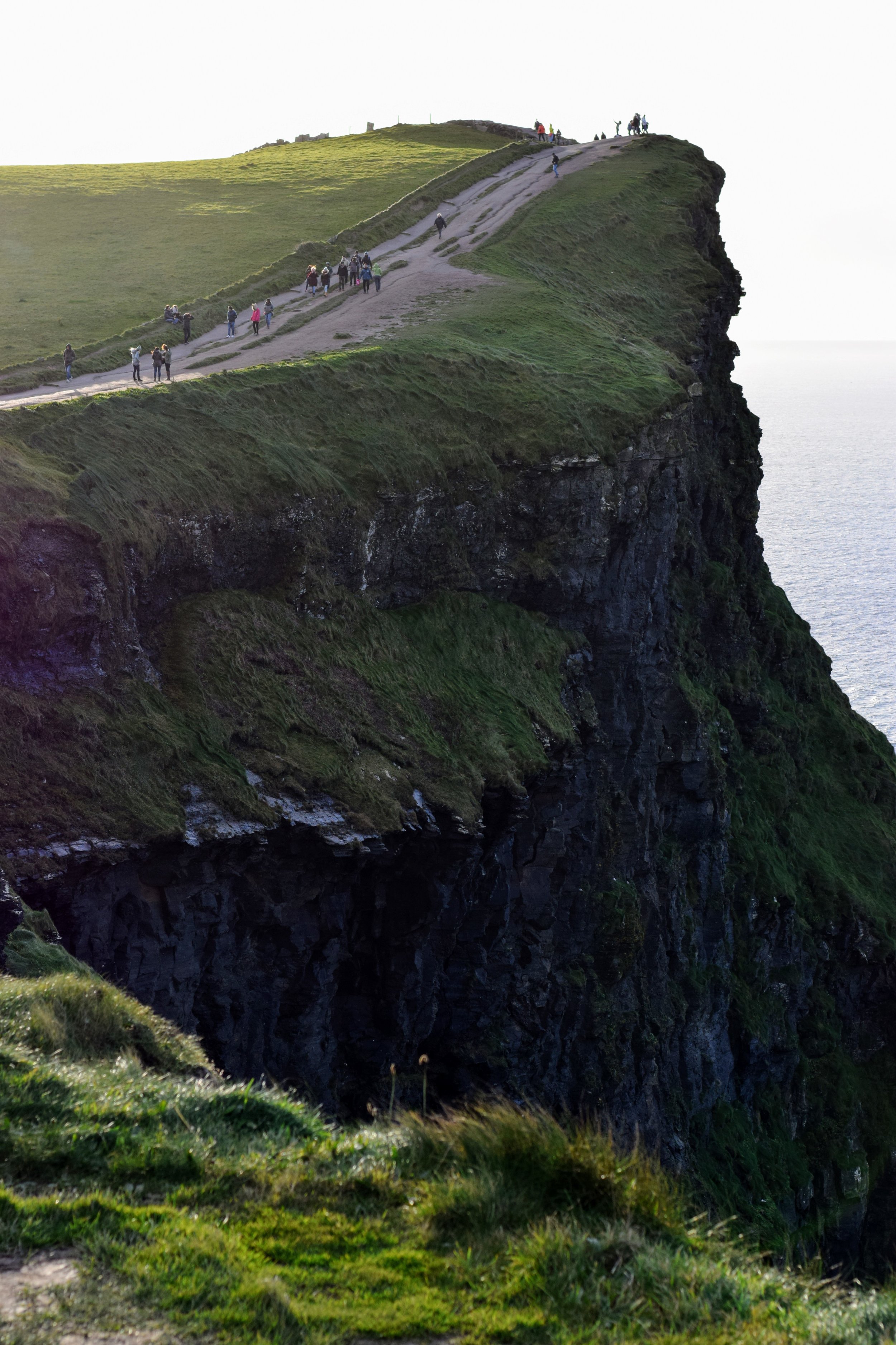
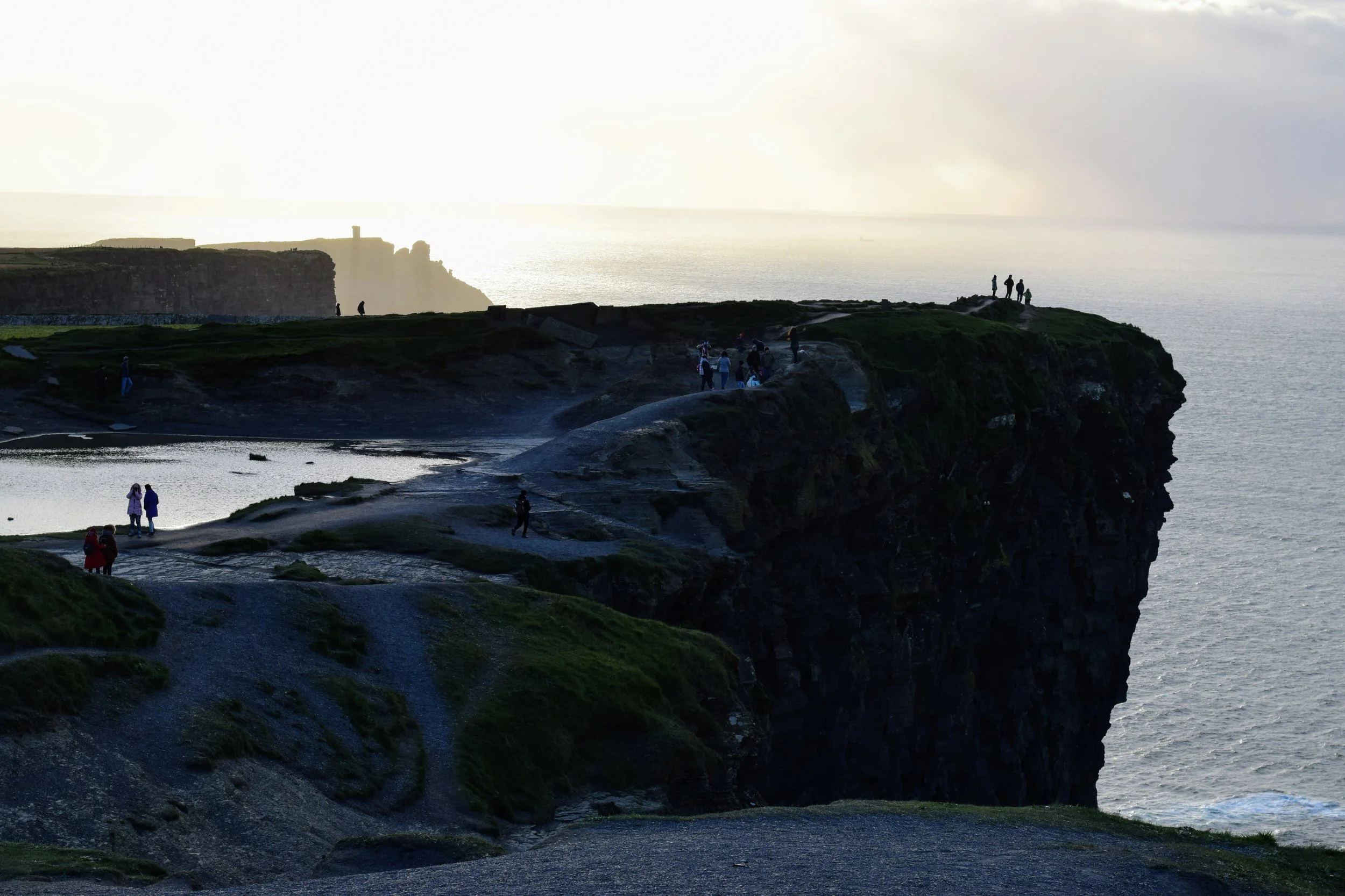
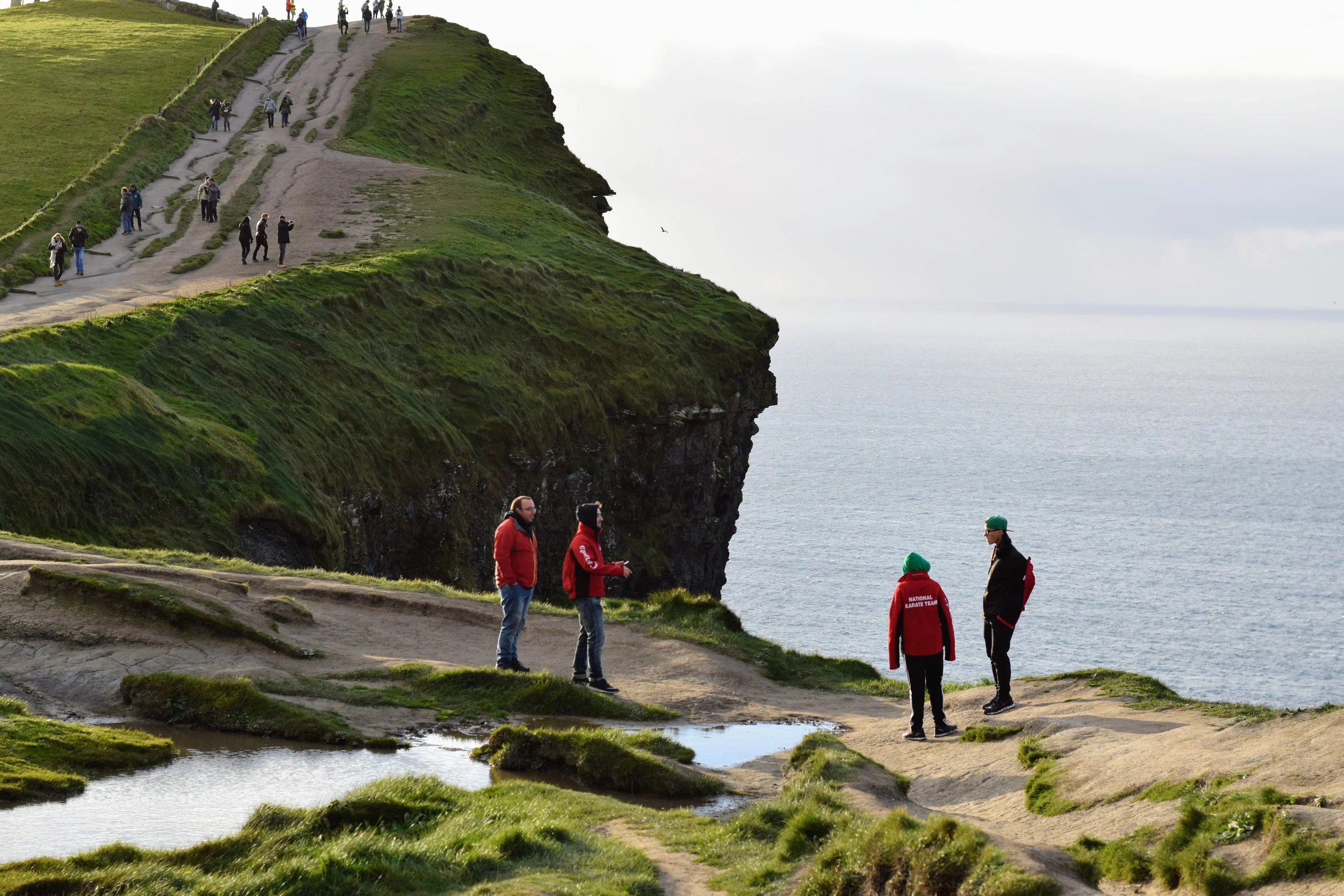
For an idea of the scale of the cliffs, the small dots along the ridge jutting out into the ocean are people. (Nikon D3330, 50mm, f/5, 1/800 sec, ISO 200 processed with VSCO)
(Nikon D3330, 50mm, f/10, 1/250 sec, ISO 200)
(Nikon D3330, 50mm, f/9, 1/160 sec, ISO 400 processed with VSCO)
(Nikon D3330, 50mm, f/9, 1/160 sec, ISO 400)
Thanks for spending some time and going through my pictures! I'm thinking about doing a few prints and making them available in the Shop section of my website so I'd love to hear which images you liked the most in the comments section below. If you have any questions about the trip, whether its recommendations or you want to learn more about places I visited, comment below as well and I'll reply as soon as I can. Slán go fóill (Goodbye for now).
Lights illuminating the colors of Irish flag (Nikon D3300, 50mm, f/2, 1/60 sec, ISO 800)

